
Winter Storm Update & Resources
Friday, January 23, 2026
As the Senate Chairman of Public Safety, I am working closely with our Emergency Operations teams on the local, state, and federal level. Listed below is important information and links to resources. If we can be of any service to you, please let me know.
Please review the following weather update from Georgia State Meteorologist, Will Lanxton, concerning the upcoming winter storm affecting Georgia. As always, GEMA/HS will continue to monitor conditions and provide updated weather information as it becomes available. In the meantime, we encourage you to review the resources below as you prepare for winter weather:
Visit GEMA/HS’s website here or click the link below for assistance on how to prepare for winter weather – https://gema.georgia.gov/winter
Follow GEMA/HS social media pages for live updates
Instagram – @georgiaemahs
X – @georgiaemahs
Facebook – Georgia Emergency Management and Homeland Security Agency
——————————————————————————————————–
A major winter storm is expected to bring significant impacts to North Georgia, including Metro Atlanta, this weekend. The timing for onset of wintry precipitation has shifted later in the day on Saturday and is now expected to begin Saturday afternoon at the earliest. The primary precipitation type is still expected to be freezing rain with ice accumulations of one-quarter to three-quarters of an inch or more generally along and north of the I-20 Corridor.
The Winter Storm Watch has been expanded southward to include all counties north of I-20, the entire Metro Atlanta area, and several counties north and east of Macon. One-quarter to three-quarters of an inch of ice accumulation is possible in the Watch counties between Saturday afternoon and Sunday night. Snow and sleet accumulations are possible in North Georgia but should remain below one inch. The Watch may be upgraded to an Ice Storm Warning or a Winter Weather Advisory tomorrow, and more counties may be added.
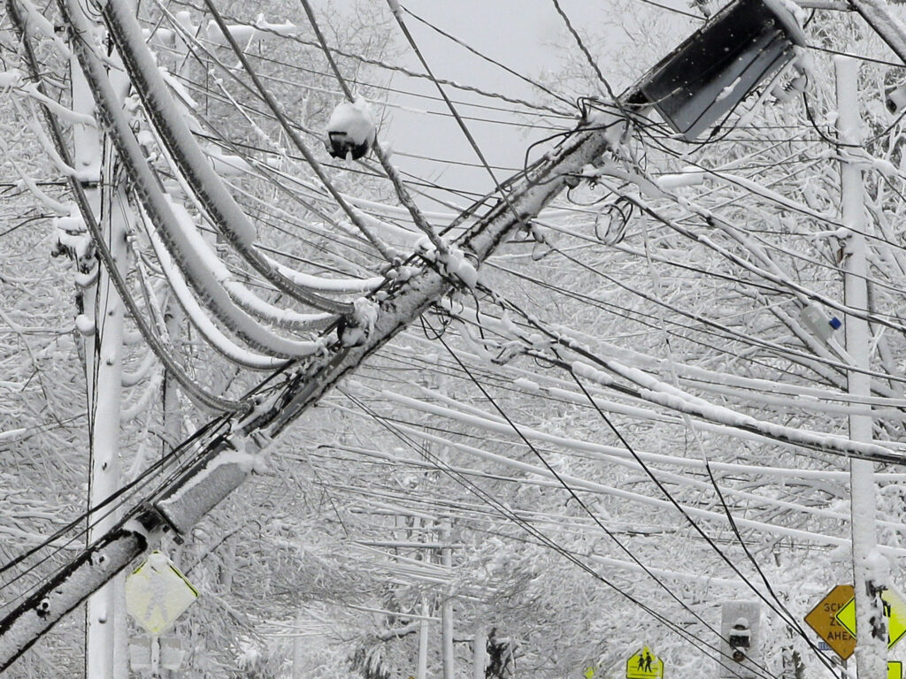
Road conditions could begin to deteriorate in the Watch area as early as Saturday afternoon and continue to worsen throughout the day on Sunday. Travel may be difficult or impossible wherever significant ice accumulations develop on roads. Downed trees and power lines could cause extended power outages and debris issues. These impacts could continue into Monday afternoon.
Temperatures will quickly drop below freezing after the precipitation ends on Sunday evening. Low temperatures on Monday morning will bottom out in the upper teens to mid-20s. Any moisture remaining on roads before late Sunday night will refreeze in addition to any lingering ice accumulations. High temperatures on Monday will only reach the low-to-mid 30s, although sunshine will help to melt and dry roads throughout the day before frigid temperatures set in Monday night.
Tuesday morning low temperatures will be some of the coldest in years. Single digit lows are likely north of I-20 with teens across the rest of North and Central Georgia. Extreme Cold Watches and Warnings will be possible on Monday night and Tuesday morning. Burst pipes and other infrastructure issues are possible with this level of extreme cold. High temperatures Tuesday afternoon will reach the upper 30s to lower 40s with a gradual warming trend through the end of next week.
Please continue to closely monitor forecast updates from your local National Weather Service office and reliable media outlets through early next week. If you are in the Watch area, plan for treacherous road conditions and potential power outages this weekend. Travel should be avoided, if possible, Saturday afternoon through Sunday night. Hazardous road conditions could also affect the Monday morning commute.
Potential Power Outages
Georgia Power Outage & Storm Center: LINK
Cobb EMC Outage & Storm Center: LINK
Sawnee EMC Outage & Storm Center: LINK
Always assume downed power lines are energized, live, and dangerous. Stay at least 30 to 100 feet away, call 911 immediately, and never touch anything the line touches, such as fences or water. Do not drive over downed lines. If a line falls on your car, stay inside until help arrives.